
St. John ZIP Coverage
The verified ordinary postal identity is Saint John, Indiana 46373. Official town and library pages use St. John or Saint John with that code, and the Lake County Assessor returns Saint John property rows when 46373 is entered. Research did not establish that nearby codes serve incorporated St. John at the address level, so they should not be added to a St. John ZIP code directory by inference.
| ZIP Code | Areas Covered | Post Office | Notes |
|---|---|---|---|
| 46373 | Incorporated St. John and surrounding Saint John delivery area | Saint John preferred postal city; verify each address with USPS | The ZIP boundary does not equal the town line |
| Other nearby ZIPs | Adjacent Lake County communities and townships | Use city/state and address lookup modes | Not confirmed as serving incorporated St. John |
No separate PO-box-only or unique St. John ZIP was verified. The safe test is address by address. USPS determines the standardized mailing city and deliverable code, while the town and county determine municipal, parcel, precinct, and tax geography.
Verify a St. John ZIP
The USPS ZIP Code Lookup offers three useful routes. Address mode takes an optional company, required street, optional unit, city, state, and optional ZIP. City-and-state mode returns the ZIP codes associated with a postal city. ZIP mode returns associated city names. For St. John, test the standardized form “Saint John” as well as the local abbreviation.
| Lookup mode | Fields supplied | Best use |
|---|---|---|
| By address | Street, unit, city, state, optional ZIP | Confirm one deliverable postal string |
| By city and state | City and state | Find codes associated with Saint John |
| By ZIP | Five-digit ZIP | Find the accepted postal city names |
Review the official USPS lookup screen before entering a St. John address.
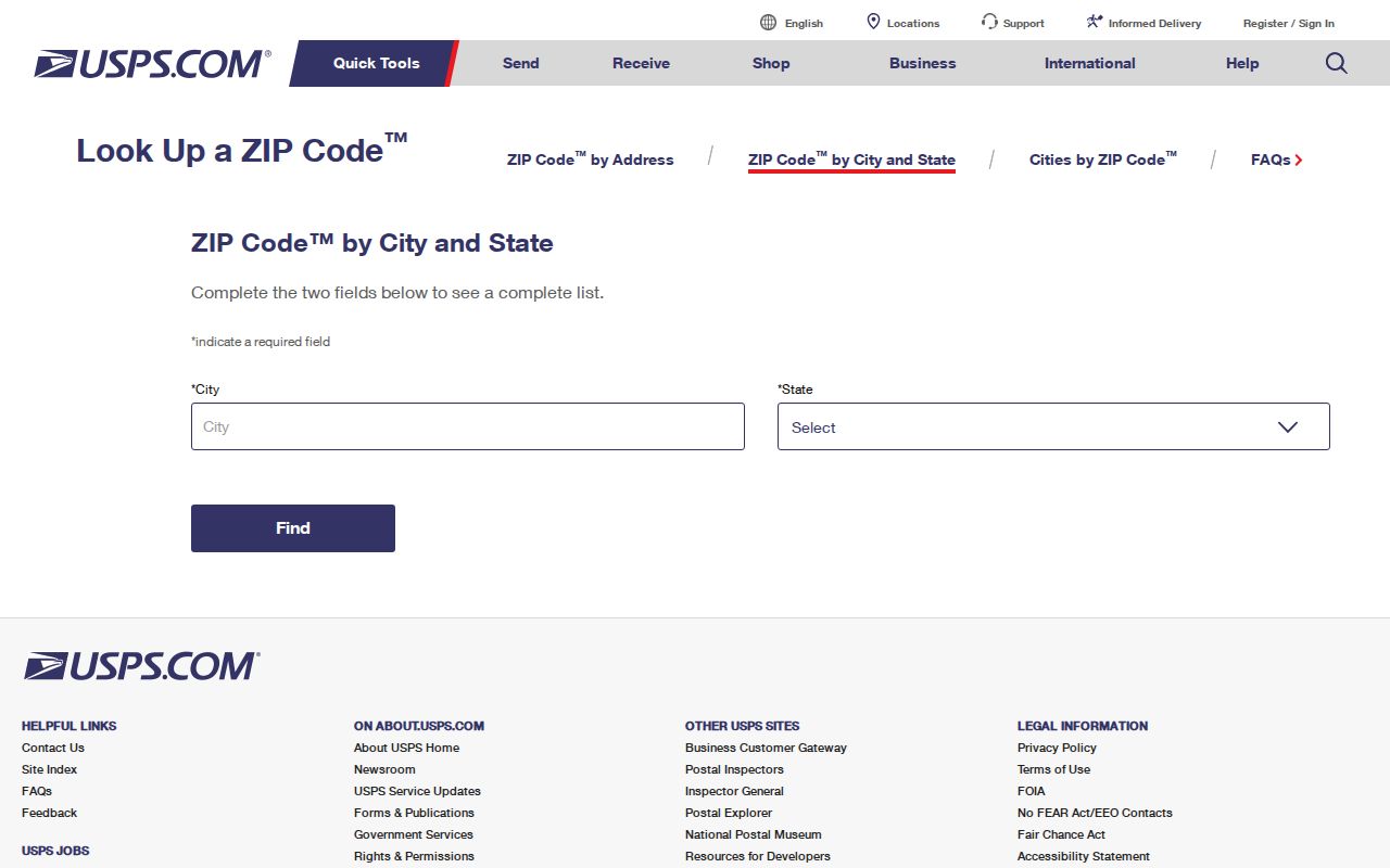
The postal result validates mail formatting. It does not establish occupancy, ownership, or the town boundary.
Search St. John by ZIP
Only some official systems accept a ZIP as a useful field. The Lake County XSoft property search accepts 46373 in its homepage query and returns parcel rows even though its advanced form has no dedicated ZIP box. The GIS parcel layer stores physical-location and mailing ZIP fields. Those fields may differ, which is why a ZIP result should lead to a parcel check rather than a claim about who lives at the site.
- Confirm the postal form through USPS, including the standardized city name.
- Enter 46373 in XSoft and inspect each returned parcel, address, and municipality.
- Compare the parcel's location ZIP and mailing ZIP in the Lake County GIS data.
- Carry the parcel number forward when the address spelling or district label is unclear.
Indiana Voters verifies an individual registration and polling information, but no public ZIP-wide resident search was confirmed. Bulk voter data is controlled through county form VRG-24 and legal use restrictions. MyCase has name, date, and county fields, not a public ZIP directory. Once the result narrows to a road, the St. John street directory provides the address-level workflow.
Professional-license and business searches also expose ZIP fields, but their addresses describe a licensed practice or an entity, not a private household. Treat those sources as identity or organization checks only. The public Recorder search sits behind a login flow, and its ZIP capability was not confirmed. If title evidence is needed, carry the parcel number and legal description to the Recorder instead of relying on 46373.
St. John GIS ZIP Fields
The Lake County GIS Hub connects postal data to mapped parcels. Its AddressPointTable contains Post_Comm, Post_Code, and Add_Full. The parcel layer includes LoczipCode and mailzipCode. These fields let a researcher compare the physical site with the address used for tax correspondence.
Open the official GIS address and ZIP table to see its published field structure.
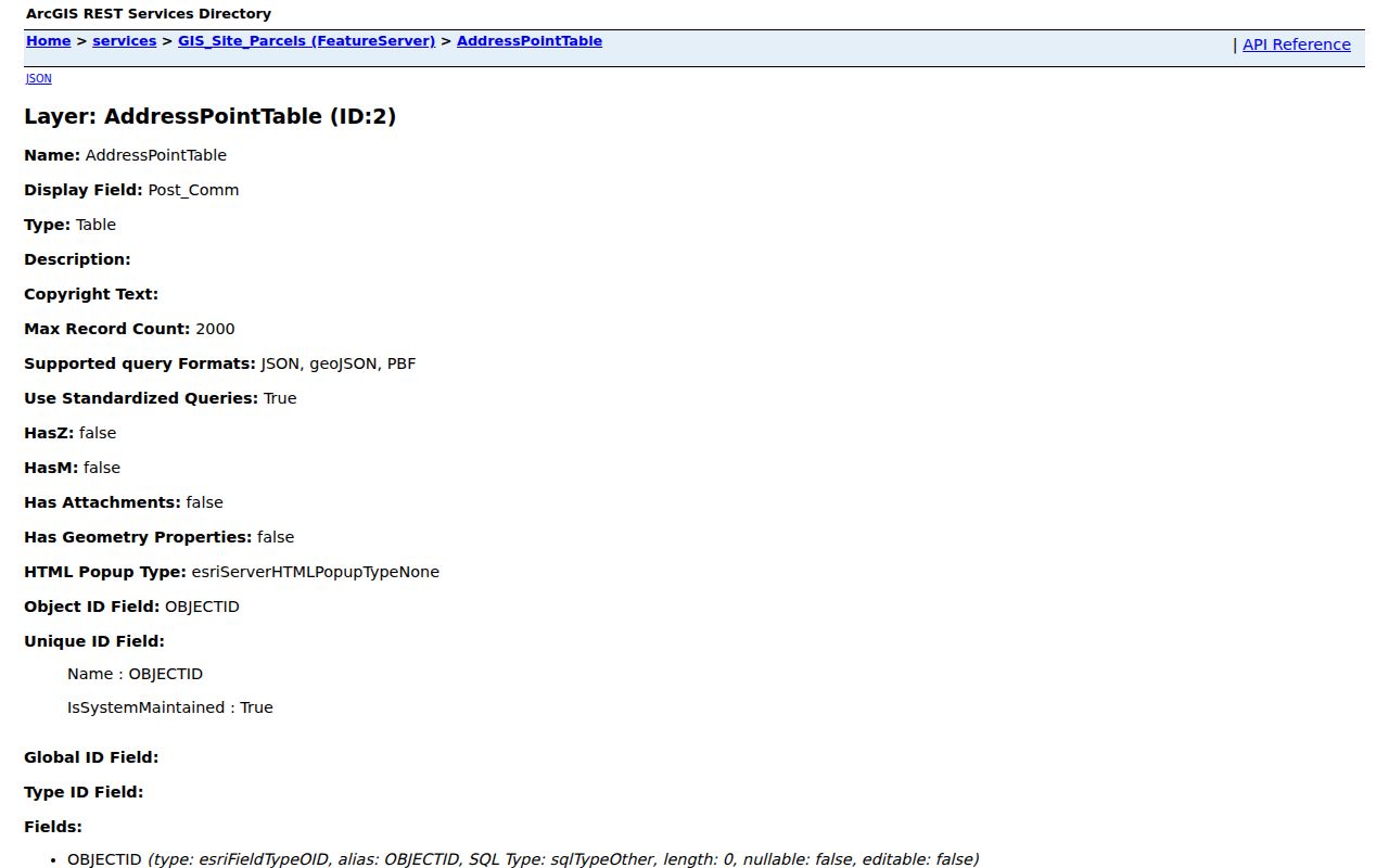
The two ZIP fields are especially useful when the owner's mailing address is not the parcel's physical St. John address. Verify stale or normalized postal values with USPS.
St. John District Overlap
“St. John” can mean a town, township, tax district, water district, postal city, or subdivision. Assessor choices place Saint John Corporation in Saint John Township beside Saint John Township, Saint John and Center Township, Saint John Water, and nearby municipal combinations. Preserve the municipality and district shown on each result rather than relying on the place name alone.
This geography matters for family and property research. Two records can share 46373 yet fall under different government units, and an older index may favor a township or nearby postal label. Carry “Lake County, Indiana” with the name and address to avoid mixing St. John with another place.
Town addresses often appear along Wicker Avenue, 93rd Avenue, and named subdivision streets. Those familiar labels still do not resolve jurisdiction. Public notices and assessor neighborhood choices may use development names such as Gates of St. John, while the parcel record keeps a district code and legal description. Save all three forms when a search result will be revisited.
St. John ZIP Versus Town
The 46373 delivery area is not the incorporated boundary. The Lake County postal-boundaries map is a useful visual cross-check, but it is a postal map, not a town-limit map. USPS also warns that ZIP codes do not necessarily follow municipal lines. Use GIS parcel geometry or official town maps when incorporation is the question.
- ZIP code
- A five-digit USPS sorting area. It is built for mail delivery, not municipal government.
- ZIP+4
- The five-digit ZIP plus four more digits that narrow delivery to a segment, building, or group of boxes.
- PO-box ZIP
- A code used only or chiefly for post-office boxes. None was verified specifically for St. John.
- Unique ZIP
- A code assigned to one high-volume organization. No St. John example was confirmed.
- Carrier route
- A delivery path within a ZIP, not a public list of residents.
The St. John ZIP code directory should therefore answer postal questions first. For city services, election districts, permits, or tax identity, consult the custodian that owns that boundary.
St. John Address Meanings
A parcel record can carry three different identifiers. The situs address is the physical location used by the assessor and GIS. The mailing address is where tax correspondence goes and may belong to another ZIP. The legal description identifies land by lot, block, subdivision, or section-township-range and can survive changes in street formatting.
The sample parcel key 45-15-05-180-018.000-015 is not a street number. It is a durable bridge across XSoft, GIS, and a Recorder request, though the exact meaning of each segment was not documented in the official portal. Never decode those segments by guesswork.
St. John ZIP Search Limits
The USPS explanation of ZIP basics makes the key limit plain: postal city names and municipal boundaries need not match. The service's address tools show deliverability and standardized form. They do not prove that a named person or business remains at an address.
Record freshness also varies. The Assessor stated that its data were current on August 24, 2026, and GIS layers carried July and August 2026 edit dates during research. USPS address-quality sources update on their own cycle. Note the date viewed and recheck the source when the distinction between mailing, parcel, and town geography matters.
Review the official ZIP basics page alongside the captured reference.
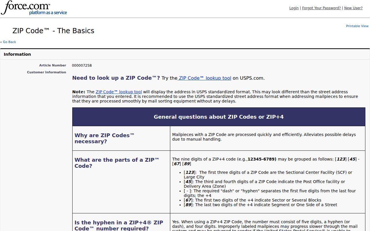
That distinction is the core caution for every St. John ZIP code directory search: postal fit, parcel location, and current residence are separate facts.