
Sources for St. John Neighbors
Public records describe a block more clearly than they describe every household. Lake County's parcel map defines which lots touch an address. The tax roll names the recorded owner and separates the property's physical address from the tax mailing address. Precinct maps add civic geography, while association sites identify a subdivision or community. None of those sources is a complete roster of St. John neighbors, renters, children, guests, or other occupants. Use each record for the limited fact it was made to show.
| Source | What It Shows About a Block | Access |
|---|---|---|
| Lake County GIS parcels | Lot boundaries, situs fields, parcel IDs, legal and district context | Free public map |
| Lake County tax roll | Recorded owner, mailing and property addresses, parcel details | Free XSoft search |
| Precinct and district maps | The civic boundaries crossing or surrounding a block | Free county maps |
| Association and subdivision sites | Community identity, rules, contacts, and public events | Public pages; no verified household roster |
| Town records | Address-linked notices and existing association or permit records | Public pages or a specific APRA request |
Ownership is not occupancy. A tax mailing address may be a post office box or a different city. A parcel may be vacant, commercial, common land, or held by an association. Even a residential owner record omits many people who may live there. Confirm the parcel type and situs address before using an owner name as one small part of a neighbor lookup.
St. John's municipal, township, postal, and assessment labels can overlap. A parcel result may mention Saint John corporation, Saint John Township, Center Township, a water district, or ZIP 46373. Keep the incorporated-municipality field with the parcel record. The postal city alone does not establish that a lot sits inside town limits. This is especially important at the edge of a block, where two close addresses can belong to different taxing or civic districts.
Map St. John Neighbor Parcels
The Lake County GIS Hub is the clearest way to bound an immediate block. Find the target parcel, note its parcel ID and situs address, then pan to the polygons that actually touch it. The parcel service can include street number, direction, street name and suffix, ZIP, legal description, acres, property class, tax set, township, incorporated municipality, and links back to county records. Those fields help prevent a nearby lot from being mistaken for a St. John household.
Current dates are source-specific. Research captured parcel edits through August 24, 2026, assessor-table edits through August 21, and address-point edits through July 31. A fresh map still does not prove who sleeps at an address. It shows land geography and public parcel facts.
Note: Preserve the parcel ID when street spelling changes; it is a steadier bridge between GIS, Assessor, and Recorder records.
Walk a St. John Neighbor Block
Move outward from one verified address in a fixed order. This keeps the search at block scale and stops a result list from pulling in unrelated parcels elsewhere on the same road. Save only the public facts needed for the question.
- Verify the address in Lake XSoft. Record the physical address, parcel number, and legal description.
- Open the GIS Hub and select that parcel polygon. Pan or zoom to each directly adjacent polygon.
- Check nearby parcels for situs address, public owner, mailing address, class, municipality, and subdivision context.
- Mark vacant, commercial, common-area, association-owned, or out-of-township parcels rather than calling each one a household.
- Use the Recorder or a plat only when ownership history or a boundary question requires it.
The map supports a bounded look at nearby lots. For every parcel along a full road, use the St. John street directory workflow instead.
Read St. John Owner Records
The Lake County XSoft property search accepts an owner, street or address, and parcel number. Its result rows can show Property ID, Owner Name, Address, City, Map, Detail, and Services. A parcel detail may add legal description, neighborhood, district, assessment history, transfers, building facts, deductions, and mailing fields. That gives useful context for the lots next door.
Read the labels closely. The situs address is the physical parcel location. The mailing address is where the tax bill or correspondence goes, and it may be elsewhere. Assessed value is not a sale price or title opinion. A deduction is tax evidence, not a guaranteed statement of who occupies the property. Covered-person rules may also hide an owner's name or address.
St. John Neighbor Associations
Subdivision and association pages can identify the community around a parcel, but the sources found for St. John do not publish resident rosters. Their value is in names, governance documents, common-area contacts, and public events. Search a development name alongside the parcel's legal description or plat instead of assuming every nearby address belongs to the same group.
The Preserve HOA
The association site identifies the St. John community, rules, events, and a contact route. No public household list was verified.
Greystone HOA
The public site provides governing documents, covenants, bylaws, rules, and dated updates, not a resident directory.
Weston Ridge
The POA page describes a 40-cottage community, its mission, and contact address. It does not expose a member roster.
Castle Rock
The subdivision site describes 67 lots and says there is no HOA, a useful check against an automatic HOA assumption.
These sources show why community identity and household identity are different. The Chamber is another civic contact point, but membership or a business tie does not establish residence.
The Preserve association page shown below is an example of a public community source.
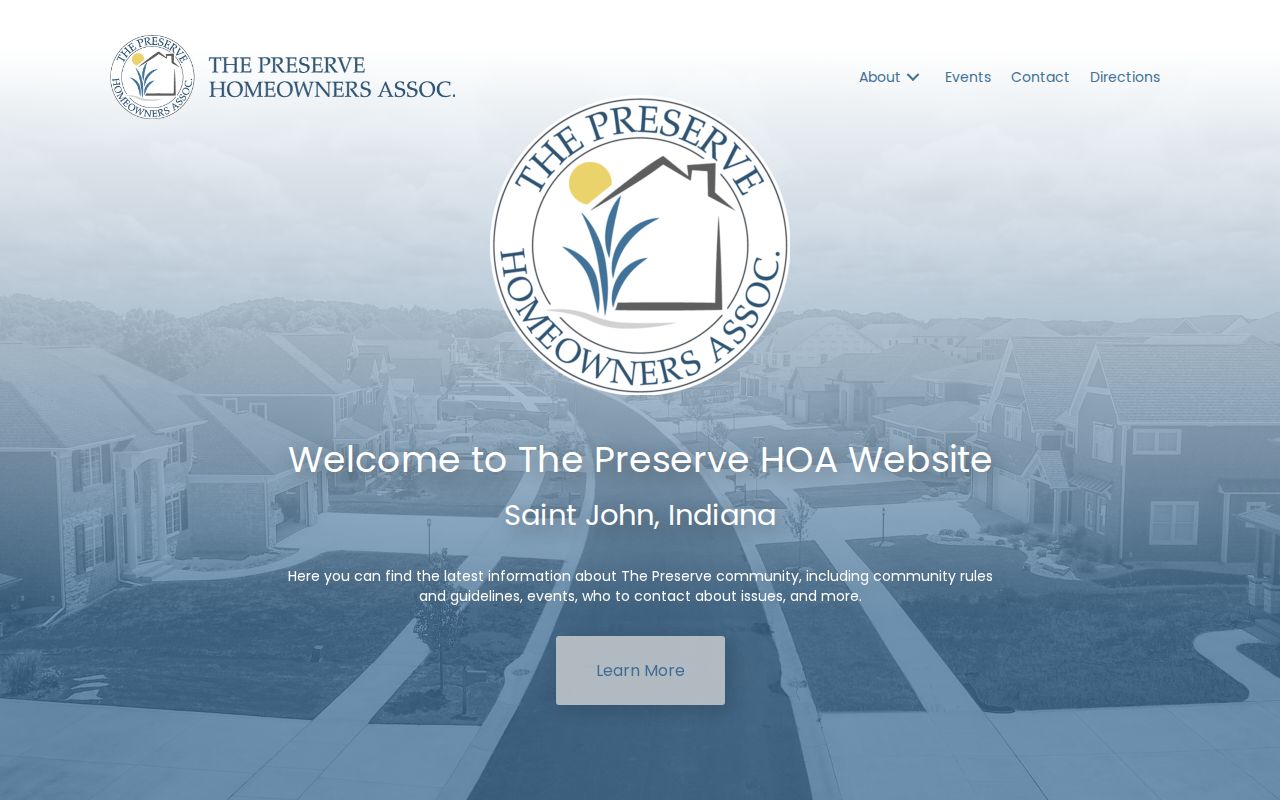
Use its public contact and community facts without treating it as a list of St. John neighbors.
St. John Neighbor Civic Clues
The town's block-party permit asks whether an HOA or organization exists, records its name and chair or co-chair contact, and requires a contiguous address range. That shows the town may hold a specific event or association record. It does not publish attendees, create a town-wide HOA directory, or prove who belongs to an organization. A narrowly written request to the Clerk-Treasurer or Building and Planning office may locate an existing record when a public page does not.
The St. John-Dyer Chamber is an umbrella civic and business organization after the community merger. Its public overview appears below.
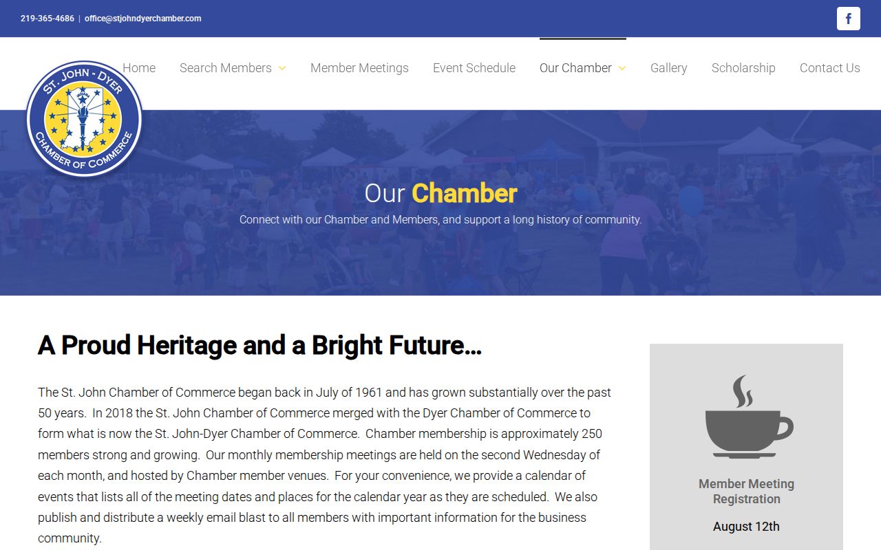
The chamber can point to public organizations and local businesses, but not to a private resident roster.
Map St. John Neighbor Districts
The Lake County election maps cover precinct, ward, town, school, and district geography. Use them to learn which civic boundaries cross the immediate block. Indiana Voters can verify an individual's own registration and polling information, but it is not an open search for every voter at nearby addresses. The county VRG-24 bulk request has buyer categories, payment terms, and use limits.
The county map page shown below helps place a St. John block within those districts.
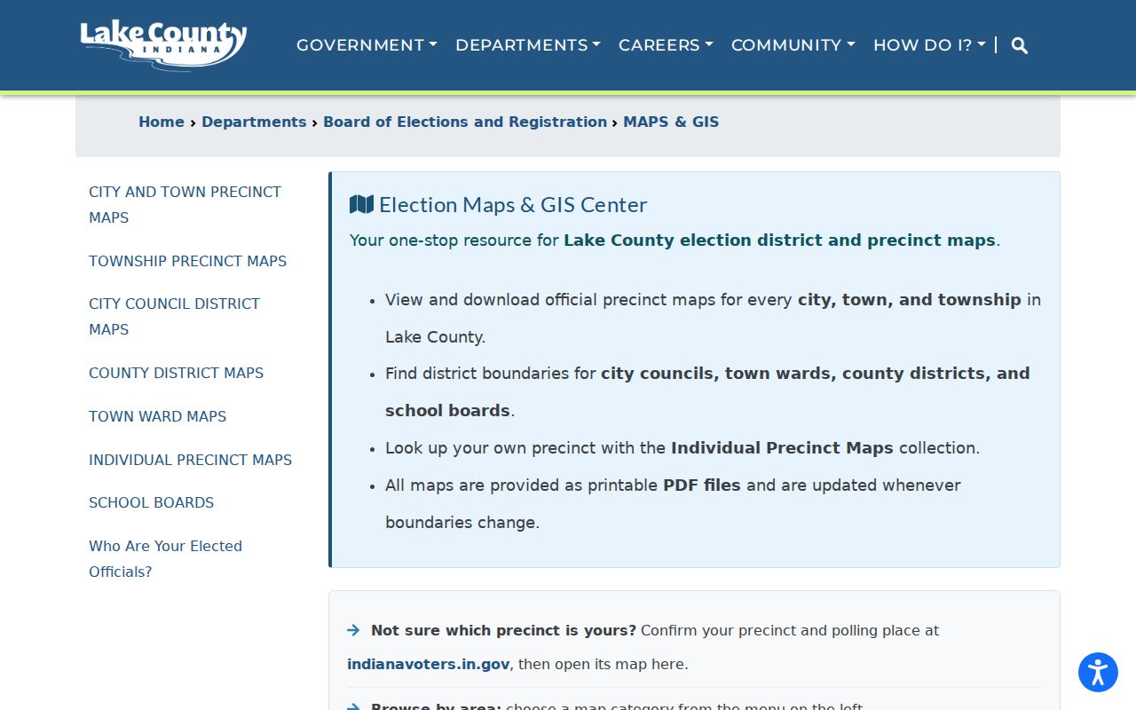
A shared precinct supports civic context only. It reveals nothing about a person's ballot choices, social ties, or household membership.
St. John Neighbor Address Notices
The town's legal-notices page preserves public hearings, development requests, variances, and address-linked government action. Development terms such as Gates of St. John, St. John Commons, Dancing Waters, Park West, and The Grove can help connect a parcel to a plat or public meeting. A notice names the party or property involved in that proceeding. It is not a list of everyone nearby.
The captured notice page below shows the official route for these dated address records.
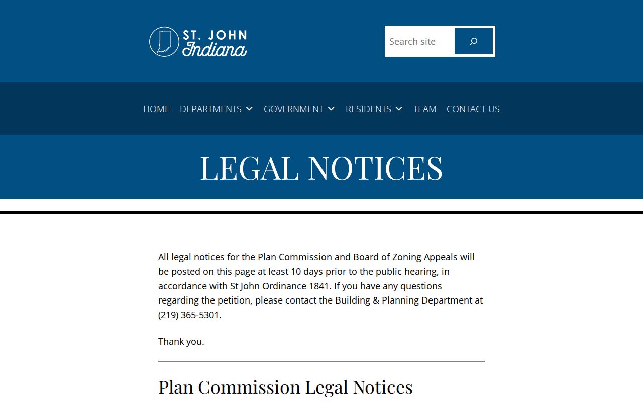
Pair a notice address with the parcel ID and municipality fields before assigning it to the immediate block.
Compare St. John Neighbor Sources
Official sources and commercial compilation tools answer different questions. County and town records have named custodians and defined fields. A commercial result may mix marketing data, old addresses, public records, and licensed datasets without showing which fact came from where.
| Source type | Strongest use | Main limit |
|---|---|---|
| GIS and Assessor | Parcel adjacency, owner, situs and mailing fields | Owner is not the full household |
| Town and county records | Notices, boundaries, specific existing records | Access and redactions depend on the record |
| Association pages | Community name, rules, public contact | No verified public member roster |
| Commercial compilations | Possible leads that need checking | Can be stale, merged, costly, or poorly sourced |
For a block question, the official parcel and civic sources provide the cleaner chain because each field has an identifiable keeper.
St. John Neighbor Privacy Limits
A St. John neighbor lookup must stop at the lawful public boundary. Property records omit renters, guests, children, and many household members. Indiana's Address Confidentiality Program protects voter names, addresses, phone numbers, and identifying details for participants. Covered-person restrictions can shield assessor names and addresses under IC 36-1-8.5. Utility accounts, delivery records, and motor-vehicle addresses are not ordinary public neighbor directories.
If a name or address is hidden, do not work around the protection. Ask the record custodian to correct an error, or request a specific existing public record under the Indiana Access to Public Records Act. APRA does not require a town or county office to create a new neighborhood roster.
Lawful use. Research St. John neighbors only for lawful personal, civic, or safety reasons. Never watch, threaten, harass, or intimidate a person with public-record details.